The National Road in Ohio |
||||
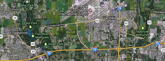
Montgomery CountyI said on the Clark County page that west of Columbus, the National Road and US 40 were, with a couple exceptions, a straight shot all the way to Indiana. Here are the couple exceptions.
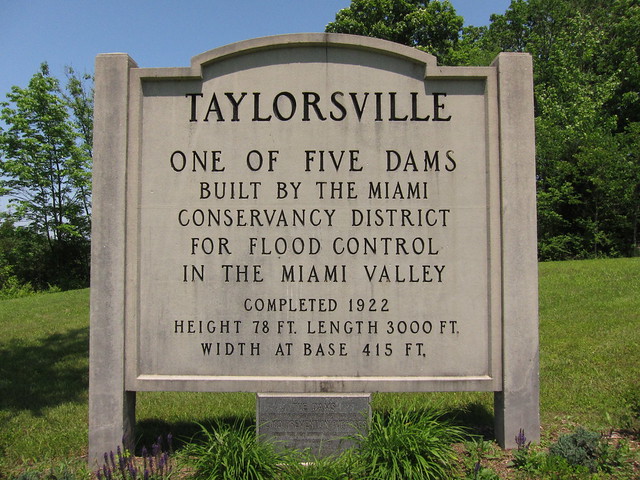
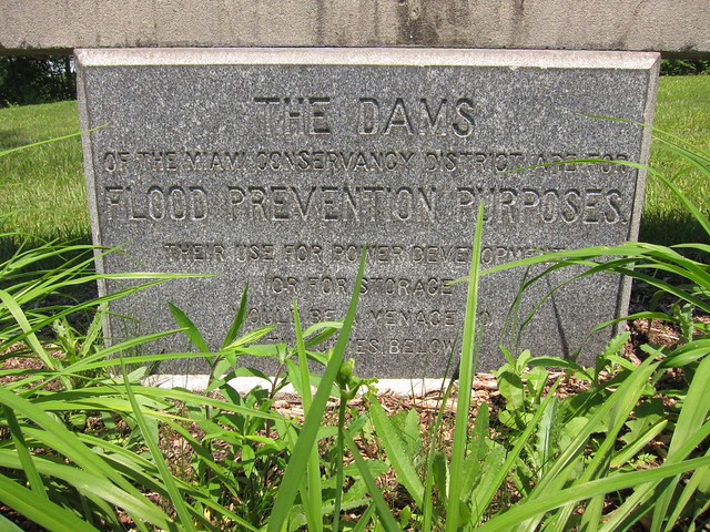
Imagery © 2012 TerraMetrics. Map data © 2012 Google. In March of 1913 more than eight inches of rain fell on frozen ground in the Great Miami River watershed. The water couldn’t sink into the ground so it ran off, broke through levees, and flooded the city of Dayton up to 20 feet deep. It remains Ohio’s greatest natural disaster. So that this could never happen again, the Miami Conservancy District was formed, and it built levees and dams and even straightened the river channel. Unfortunately, this work caused the National Road to be rerouted in two places directly north of Dayton. The reroutings aren’t particularly graceful, either. But the flood-control project worked, and in the years since parks were built in some of the displaced land. As I made my way from east to west, I first encountered the rerouting around the Taylorsville MetroPark.
It is well commemorated.
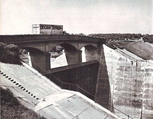
A great dam carries US 40.
Before any trip along the National Road, I normally consult George Stewart’s great book, US 40: Cross-Section of the United States of America. Stewart drove US 40 across the country in 1949 and 1950 and took photos along the way. I like to photograph the same places he did. I simply forgot to check Stewart’s book before this trip, but after I returned home I was delighted to find that I had taken a photo of this dam from the same place he did.
Tadmor was a little town on the National Road’s original alignment north of this dam. It suffered some damage in the 1913 floods, but a covered bridge over the Great Miami River remained intact, and traffic still moved through Tadmor, and so townspeople stuck around. But when the National Road was rerouted over this dam, Tadmor’s future dimmed considerably and so everybody left. Very little is left of Tadmor today, but the site is reachable via the trails inside Taylorsville MetroPark.
A small sign says you’ve arrived.
I understand that the foundation of at least one house, the abutments from the covered bridge, and perhaps evidence of the old road remain, though they require some effort to reach. Unfortunately, it was 98 degrees this day, and by the time my dog and I got here the heat was beginning to affect us. We needed to get back to the car where cold water awaited us. Before we turned around, we did see these abutments from what I’m guessing was a railroad bridge.
I tip my hat to my road-loving colleague Denny Gibson who visited Tadmor before me and wrote about it. I probably wouldn’t have known about Tadmor otherwise! |
||||
|
||||
|
Created 4 February 2012. |
||||