The National Road in Ohio |
||||
Licking CountyWe take for granted that we can drive anywhere in the nation today, but such was not always the case. I have a book here that is a transcribed diary of a family driving from California to Indiana in 1913. Most roads were dirt; some were gravel. Out west, the family found many places were roads simply did not exist, and they had to blaze their own trails with their car. And so in the 1910s several groups worked to create coast-to-coast (or, in the vernacular of the time, “ocean-to-ocean”) highways. The most famous is probably the Lincoln Highway. Another was the Pike’s Peak Ocean-to-Ocean Highway. Yet another was the National Old Trails Road. Wherever possible, all of these roads were routed along existing roads. The National Old Trails Road followed the National Road from Maryland to Illinois, except for a portion in western Ohio that instead followed the Dayton Cutoff (read about that road here). Ohio’s National Road had long since been given back to the counties through which it passed. It was in varying states of repair. But as Ohio built its state highway network it took over the National Old Trails alignment and began aggressively to improve it. It reduced grades and smoothed curves. It paved the road in brick, in macadam, gravel – and, along the 24 miles between Zanesville and Hebron, in concrete.
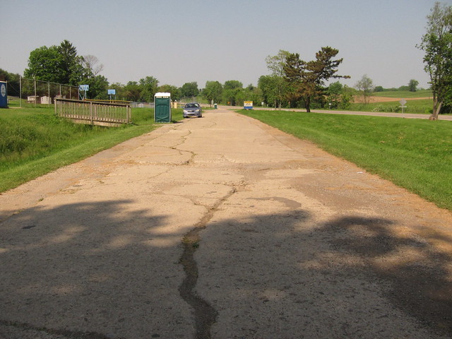
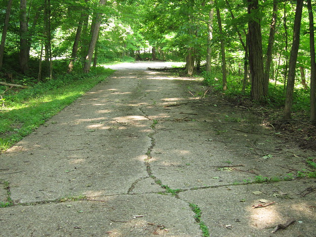
While concrete roads aren’t uncommon today, it was considered experimental in 1914, when the first of this road was poured. Very little of this concrete road remains today as the road has been widened and covered with asphalt. The section in the above photo runs in front of the Hopewell Elementary School, just east of Gratiot and about 11 miles west of Zanesville. This map shows the concrete road’s original alignment (in blue) compared to modern US 40. The concrete road is mostly covered in asphalt along the old alignment through Gratiot (part of which, confusingly, is back in Muskingum County), but west of town (and back in Licking County) the concrete emerges from beneath the blacktop. The grade reductions that were part of the 1910s improvements didn’t eliminate this blind hill.
After cresting the hill, the concrete ends abruptly.
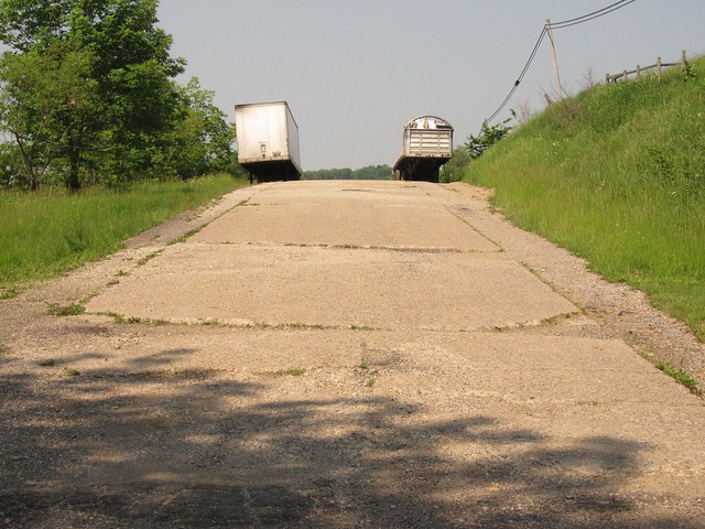
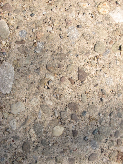
I find it very interesting that this concrete road contains no center expansion seam, and that the aggregate used is whole and of varying size. The concrete highways I've seen elsewhere, laid in the 1920s and 1930s, all have center seams and crushed, regular aggregate.
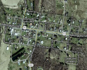
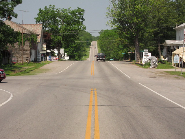
The old road, here the modern highway, continues through tiny Brownsville.
Imagery © 2012 Digital Globe, GeoEye, USDA Farm Service. Map data © 2012 Google. Downtown Brownsville is a typical scene along the road in Licking County.
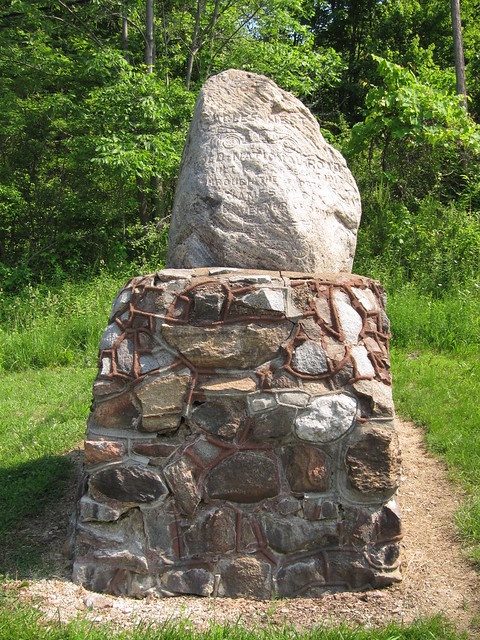
Eagle’s Nest Hill, just west of Brownsville, is the highest elevation along Ohio’s National Road. This monument stands there to commemorate the concrete paving project. It reads, “Old National Road, built 1825, rebuilt 1914 through the efforts of James M. Cox, Governor of Ohio.”
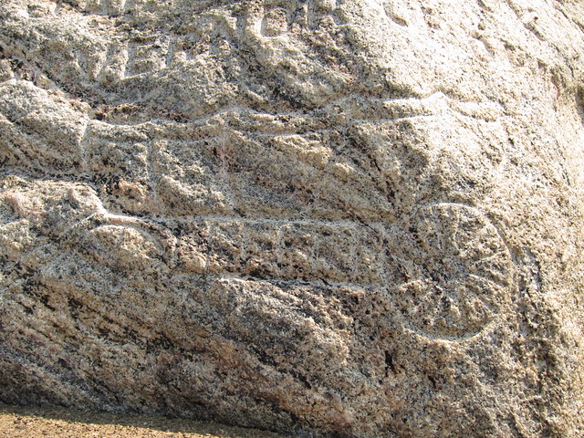
A 19th-century covered wagon and an early-20th-century automobile are also carved into the stone’s face.
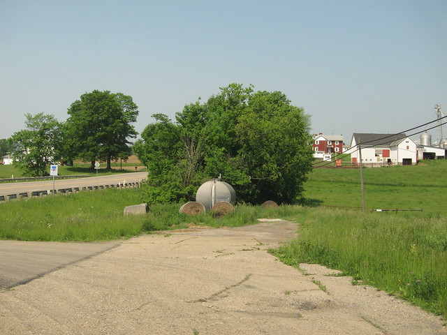
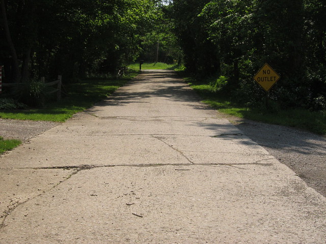
I found just two more short bits of concrete. This one is at the east end of an old alignment signed Mt. Hope Road, three miles west of Brownsville and south of US 40.
Another long concrete section appears almost immediately, on the north side of US 40. It looked like it might be private property, so I didn't stop. Then, two miles later is another old alignment signed Panhandle Road. Its east end is concrete.
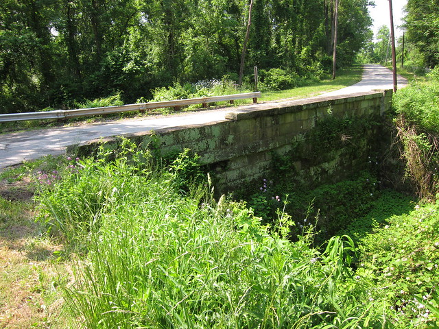
When I saw the stone railing here on Panhandle Road, I got very excited, thinking I'd found another stone bridge. Turns out it's just a stone retention wall.
Here's westbound Panhandle Road on its way back to US 40.
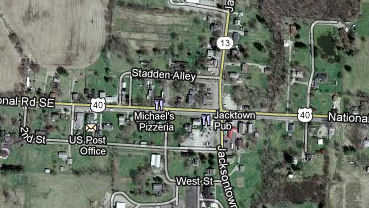
Jacksontown is next along the road.
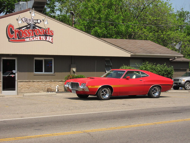
Imagery © 2012 Digital Globe, GeoEye, USDA Farm Service. Map data © 2012 Google. I spotted this 1972 Ford Torino around the corner from US 40 in downtown Jacksontown.
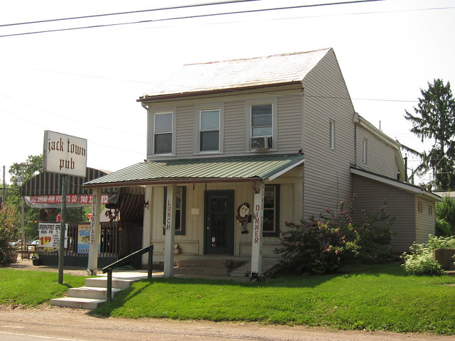
On the southwest corner of US 40 and State Route 13 stands the Jack Town Pub, which has been serving travelers since the 1910s.
|
||||
|
||||
|
Created 3 February 2012. |
||||