The National Road in Ohio |
||||
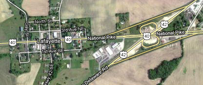
Madison CountyBeyond Columbus, things get mighty sparse on the National Road. Western Ohio is pretty flat. The National Road was therefore a straight shot across the rest of the state, and with a major exception in Miami County, modern US 40 was built right on top of it. About halfway across Madison County and 20 miles west of Columbus, the road reaches tiny Lafayette.
Imagery © 2012 Digital Globe, GeoEye, State of Ohio/OSIP, USDA Farm Service Agency, U.S. Geological Survey. Map data © 2012 Google. It is said that the National Road didn’t extend this far west until about 1837, which is when the Red Brick Tavern opened for business. When the railroad rose to prominence in the 1850s and traffic on the National Road dried up, the tavern’s fortunes fell. It closed in 1859.
The families that owned it then lived in it and rented portions of it as residences for other families. The third floor was even used as a school for a while. The automobile made the National Road important again in the early 20th century, and so in 1924 the Red Brick’s owners reopened it as a restaurant. It still feeds US 40 travelers today.
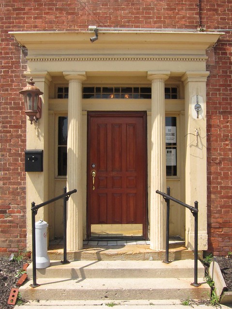
I love the strong entrance on this building.
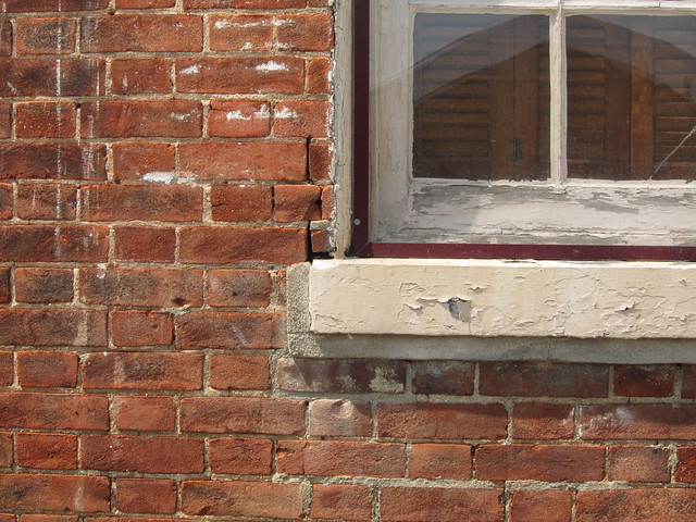
A closer look at the bricks.
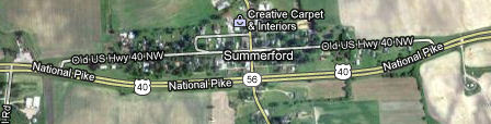
US 40 is four divided lanes out here. The westbound lanes are the National Road's original alignment; the eastbound lanes came later. Shortly the road reaches Summerford. US 40 bypasses it to the south, but the National Road still travels straight through.
Imagery © 2012 Digital Globe, GeoEye, State of Ohio/OSIP, U.S. Geological Survey, USDA Farm Service Agency. Map data © 2012 Google. |
||||
|
||||
|
Created 4 February 2012. |
||||