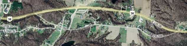
US 36 in Western Indiana |
||||
Billie Creek segmentAbout a mile west of the dirt and gravel segment, another segment appears on the south side of the highway. The map shows a little more than the alignment because I wondered for a while whether US 36 used to follow High Street into town, since it seems to flow in the same direction as this segment before it curves northwestward toward US 36. However, High Street dead ends at US 41 on the other side of Rockville, so it doesn't seem likely.
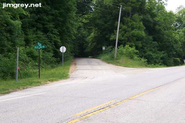
This road, signed Old 36 Rd, passes behind Billie Creek Village, a living history museum. Here's this segment's eastern entrance – don't blink or you'll miss it.
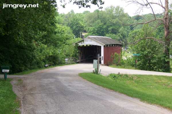
Two cars wide on a good day, this asphalt road soon comes upon a little covered bridge built by J. J. Daniels in 1895, as was the covered bridge over Big Walnut Creek earlier in the trip. This is another Burr arch truss bridge. Curiously, though the village, this bridge, and the adjoining road (the right turn just before the bridge) are all named Billie Creek, this is apparently actually Williams Creek. Go fig.
I'm still curious about whether High Street was ever US 36. Notice how naturally Old 36 Rd curves into High Street in the photo below, and how Old 36 Rd narrows beyond High St.
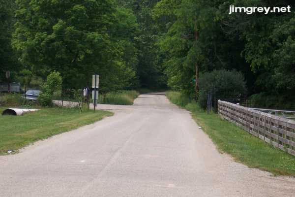
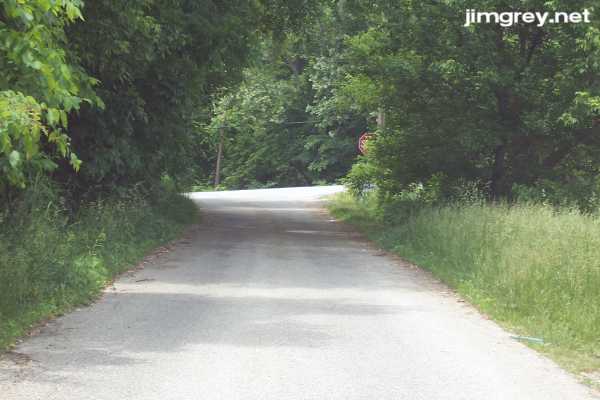
Slightly more than two miles in, this segment ends at US 36. This is a mighty tight squeeze for two vehicles.
|
||||
|
||||
|
Created 27 June 2007. Updated 26 August 2007. |
||||