US 36 in Western Indiana |
||||
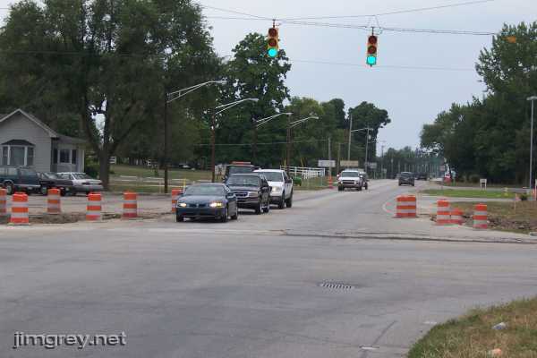
West of RockvilleI needed to go to Terre Haute the afternoon of August 19th, so I left a few hours early and returned to the intersection of US 36 and US 41 to complete my trip. I also had a mind to explore the Pike's Peak Ocean-to-Ocean Highway where it diverged from US 36 west of Montezuma. I began where I left off, at the intersection of US 36 and US 41. This photo looks westbound down US 36.
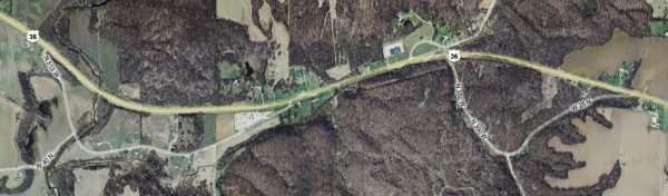
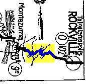
The map showed two road segments just outside Rockville that diverged from, and then converged with, US 36.
This looked to me remarkably like the shape of the road at this spot in the 1915 TIB Guide strip map that I saw at the Federal Highway Administration's Web site where they were tracking the route of the old Pike's Peak Ocean-to-Ocean Highway (PP-OO).
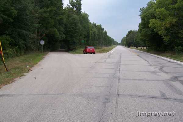
About 3½ miles later, I came upon where this road split from US 36.
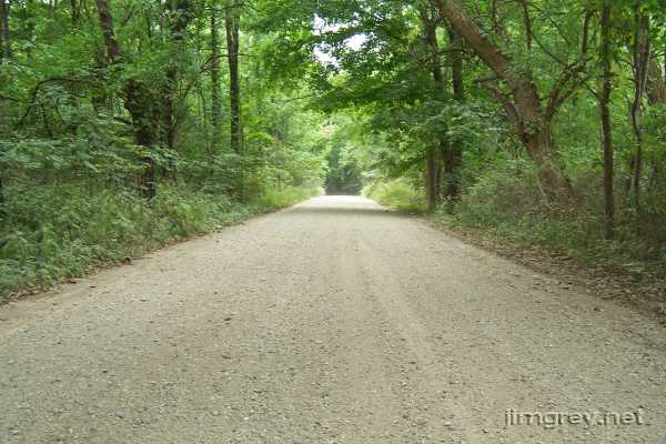
I turned in, and the road immediately turned to gravel. This westbound photo was taken several feet away from US 36, and you could hear the traffic whizzing by. But doesn't this photo seem to be miles away from anything? Doesn't it look like it ought to be pin-drop quiet?
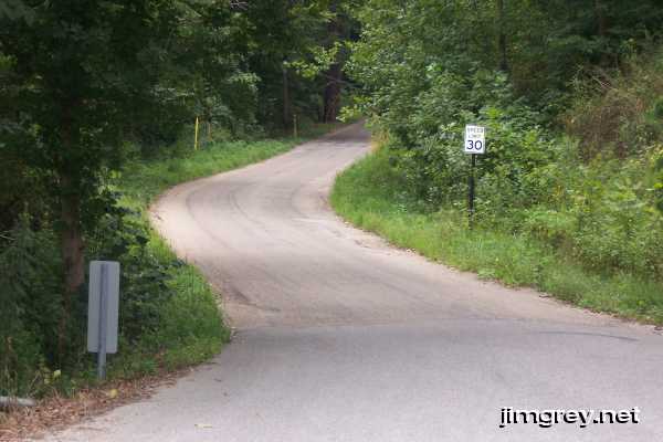
I checked my old state maps, which go back to 1936. They aren't detailed enough to accurately render the shape of US 36 through here, but they do say that US 36 was paved. I think it's unlikely that this road was ever US 36, but it was almost certainly the PP-OO. After about a quarter mile, this road became paved and its name changed from W 25 N to N 350 W. A couple houses appeared. Another quarter mile later, it deposited me back onto US 36. This eastbound photo shows the old road's ascent to the highway.
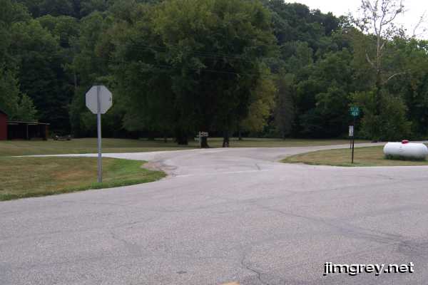
Another quarter mile or so down US 36 the next segment began. The map suggests to me that this segment used to flow smoothly from the previous one, and that it came in from the gravel driveway on the left in this photo.
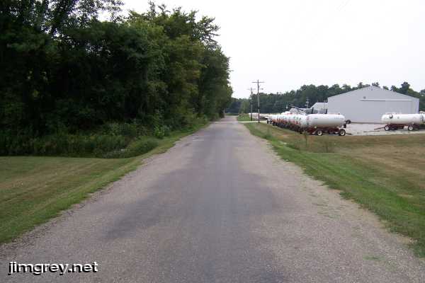
Off the road goes westbound, utility poles suggesting that rural electrification reached here before US 36's current alignment did.
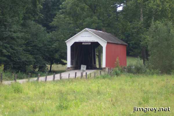
CR 89 ends at this road, but not before crossing a stream on a covered bridge. J. A. Britton built it in 1909. The sign says it's the Phillips bridge.
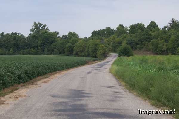
There wasn't much along this old PP-OO alignment but soybeans...
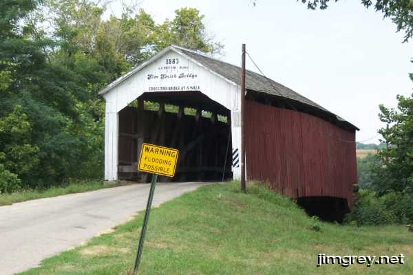
...and the 1883 Sim Smith Bridge, a Burr arch truss bridge also built by J. A. Britton. I didn't think much of the "Warning Flooding Possible" sign as it blocked this, the best angle I found of the bridge.
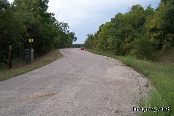
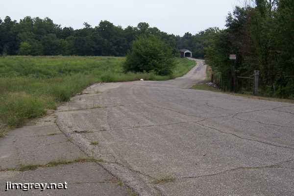
After crossing the bridge the land deepened into a mild valley overgrown with weeds. US 36 came into view on my right. I could see that the road made an unusual jog to the left up ahead, and when I reached it I felt a mild bump and heard my tires make a different sound, as if I had just changed roads. I pulled right over to have a look. I could see a faint double yellow line on the road.
The road had a shoulder on its north side, and it looked like the road and its shoulder were summarily chopped off beyond a certain point, as this photo shows. The little red, white, and black sign at right says "Danger Flooding Possible."
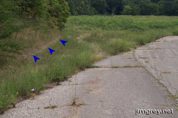
The only evidence I found of the road's former path was a drainage trench. It hugged the road's shoulder to where the road was cut off, and then it snaked around the ridge. The blue arrows in this photo show the trench.
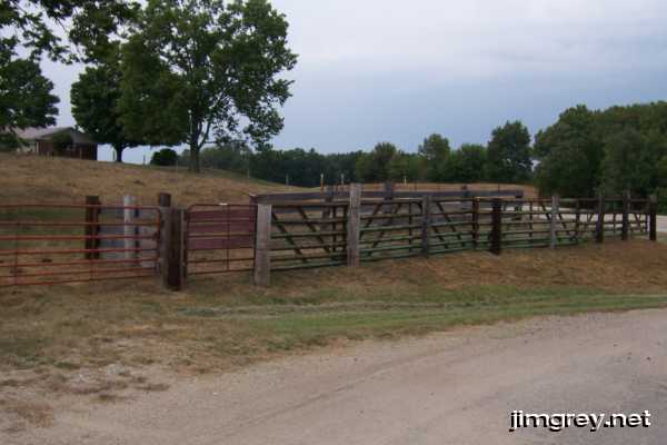
I returned to my car and drove on. A set of gates appeared and seemed to block the road entirely. I wondered if I had misread my map, but fortunately the road curved sharply just before the gates and returned me to US 36.
It looked to me like the road used to go through where these gates are now. This land looks built up like a roadbed.
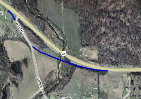
From this evidence, I induce that a former US 36 bridge over this creek was built in the flood plain. That became enough of a problem that the state built a new bridge nearby, raising it far above flood levels, and rerouted US 36 onto it. The blue line on this map shows where I think old US 36 used to go.
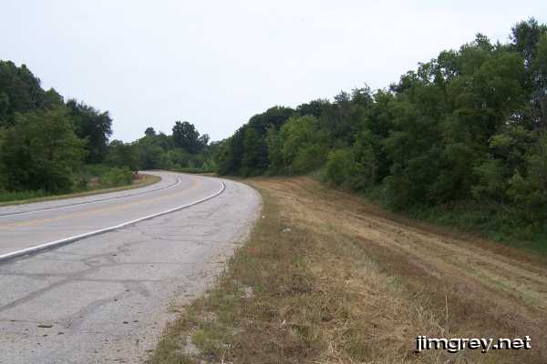
I went down to the new bridge to see what I could see. I wish I had thought to look for a marker or plaque, which might have told me when this bridge was built. A sign announced, however, that the bridge spanned Leatherwood Creek. I took an eastbound photo from there that shows the curve. I may be seeing what I want to see, but the tree line suggests to me where the road used to go.
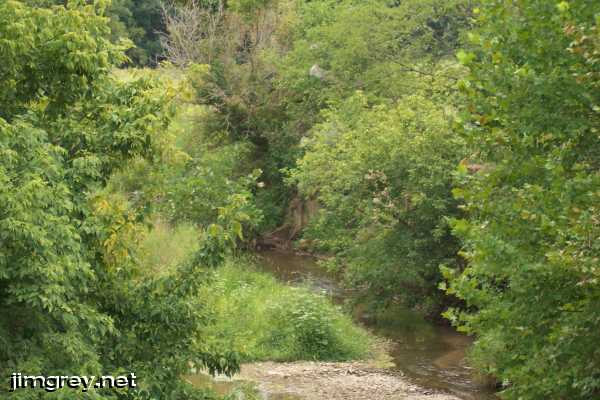
From the bridge I looked south and tried to find evidence of the former US 36 bridge. I saw nothing conclusive. In the middle of this photo, there could be a cement bridge abutment behind some exposed tree roots, but I wasn't sure.
It should be easier to see what remains of this alignment in late autumn after the leaves have fallen. But on this hot summer day there was little evidence a road ever ran through here. |
||||
|
||||
|
Created 26 August 2007. |
||||