US 36 in Western Indiana |
||||
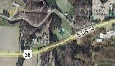
West of BellmoreWhile driving US 36 a few months ago, my kids in the back seat as we came home from a Spring Break trip, I saw an Old 36 Rd sign I hadn't seen on earlier trips, so I turned in. I went sharply downhill on a gravel road that seemed to end immediately in a couple dirt driveways. It was pretty tight back there and it took some care to turn around to get out! My kids were so busy playing their Nintendo DSes that they never noticed the bumpy detour. When I came home, I looked it up online, and decided I must have tried to take this segment of road:
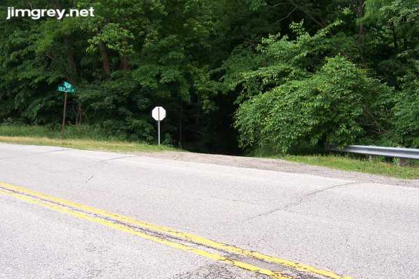
But why did the map show it as going through? Here's a photo of the entrance to this segment. If you squint, you can see the Old 36 Rd sign. Notice how the road drops off immediately.
I took a picture down this narrow gravel road. This used to be US 36?
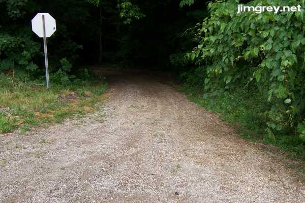
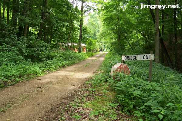
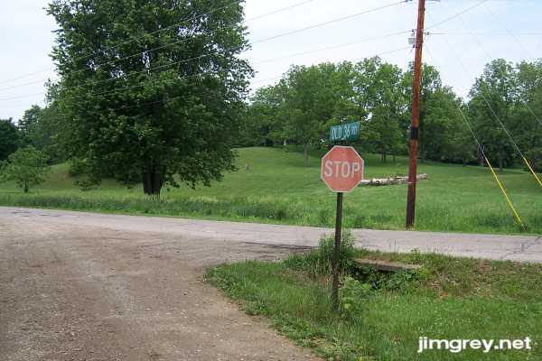
The satellite map showed 500 E as a crossroad along this alleged alignment, so I drove to it and headed north until I encountered what was, even there, signed Old 36 Rd. I drove east to see if I could make the connection. The road was barely one car wide. Soon I came upon this scene warning that a bridge ahead was out. Not pictured is the "Private Property Keep Out" sign nailed to a nearby tree that kept me from exploring farther.
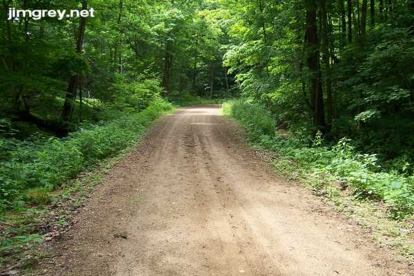
I had quite a time turning my little car around in here, fearing that I'd put one end of my car off the side of the road and get stuck. If you decide to explore this segment and drive something larger than my Toyota Matrix, or don't have four-wheel-drive, I recommend parking back at the crossroads and walking back here. Here's what the road looked like leading away from here. Back here, the road was more dirt than gravel.
I drove back the way I came, crossing 500E. The road widened a little bit and became more gravel than dirt. Somebody was keeping the grass cut back here.
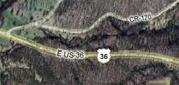
As I drove this segment, I thought it so incredible that this could have been US 36 that I doubted it. But my research shows that it is possible. My 1928 Indiana State Highway Commission map shows that US 36 was paved from Indianapolis to Danville, but was gravel west of there. That map even calls out Bellmore just above the broken line that represents gravel US 36. My 1937 Rand McNally (Standard Oil) Indiana highway map shows US 36 as a first-class paved road from Indianapolis to Illinois. So sometime within those nine years, the state paved US 36. If this is truly old US 36, then the state chose to build a straighter alignment nearby and decommission this stretch. Can you imagine seeing an old cutout US 36 shield along the road above? It seems absurd! Yet I'm certain that it seemed perfectly natural to drivers 75 years ago. Old 36 Rd ended 1.7 miles from the Bridge Out sign. The reason I had never seen an Old 36 Rd sign to match the one at the other end of this segment is because Old 36 Rd ends at another county road, which connects to US 36. See the map below. There's no evidence that the old road continued past this county road; rather, it looks like that county road could once have been old US 36. Maybe the north-south road used to T into old US 36, but at some point became important enough to be paved, and was extended to US 36 by co-opting that last bit of old US 36.
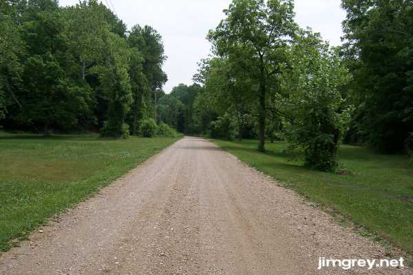
Here's where Old 36 Rd ends at the unsigned county road.
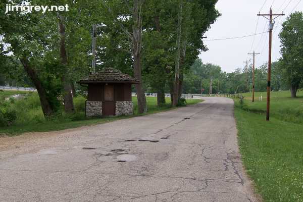
Looking south from this intersection, US 36 is maybe a tenth of a mile away. If you want to find this segment, look for that little brown shack, which you can easily see from US 36.
|
||||
|
||||
|
Created 27 June 2007. Updated 26 August 2007. |
||||