Old US 31 in Northern Indiana |
|
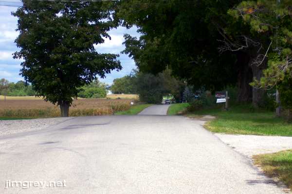
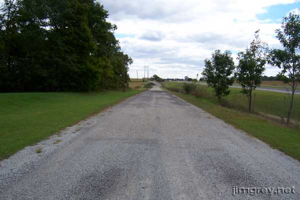
The lonely roadWe crossed US 31 south of Rochester.
As soon as we did, the road's demeanor changed. Where we had seen shoulders, the road now lacked them. Where the pavement had been dark and in recent repair, we now saw the silvery gray of old asphalt. Where the road had been striped, only faint striping now occasionally appeared. The road seemed narrower. If it weren't for the Old US 31 sign, we might have thought we'd taken a wrong turn.
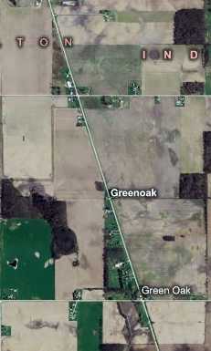
We passed a few houses right away, but after that it was just Brian, me, the corn, and the soybeans. My 1916 Automobile Blue Book said we'd come upon a place called Green Oak, where the road would be "rather sandy in spots." While the map below shows two spots where Green Oak might have been, there was no evidence of it along the road. As the map suggests, there wasn't much evidence of anything along the road.
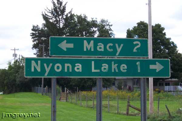
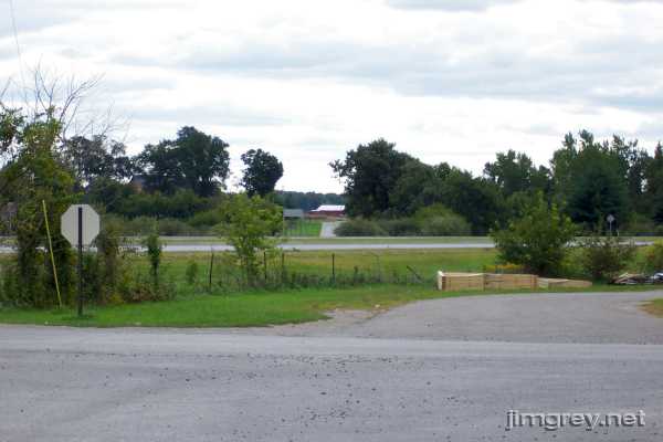
After six miles, we again approached US 31. This sign, with its fading letters, greeted us, an artifact of this road's heyday. A similar, but newer and brighter, sign stood several feet east of us on US 31.
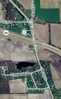
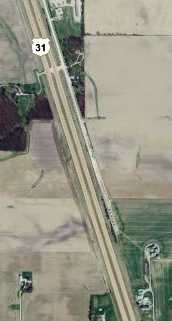
Across E 650 S, and then across US 31, old US 31 continues.
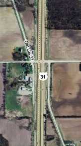
This map shows this intersection.
This was the most excitement we would have for another 6½ miles. Except for itty bitty Perrysburg, for which we did not stop, this road was as empty as it had been for the past six miles, shoulderless and unstriped. After about 5½ miles, old US 31 pulled up alongside current US 31. And then a half-mile later, there was a dead-end sign and we could see old US 31 fade off into nothing.
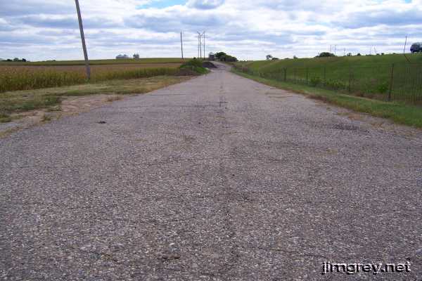
Brian asked the owner of the last house on the road if we could walk out along the road. She said her property ended where the fence did, and we were welcome to go out that far. We went for a closer look. If it is possible, the road seemed even narrower as we drew closer to the end. I squatted for this shot, which shows the condition of this asphalt, ignored for probably 30 years.
Here's what the end looks like from the air. We turned around and drove to the US 31 access road, and then headed south on the big slab.
|
|
|
Created 13 January 2007. |
|