Old US 31 in Northern Indiana |
|
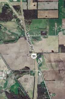
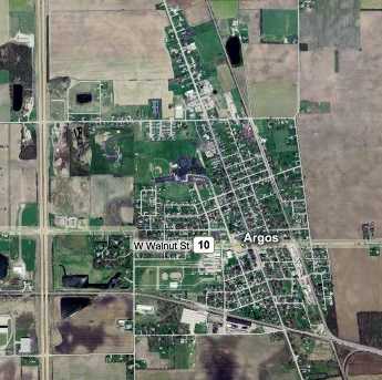
ArgosUS 31 follows about 1,000 yards of its original path between Plymouth and Argos before curving away again, as this map shows.
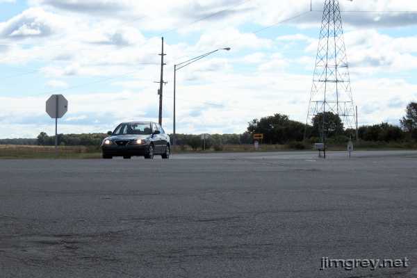
The turnoff looks like this from the west side of US 31.
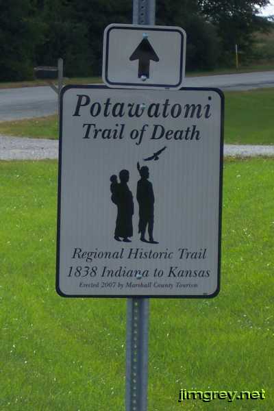
As we turned in, we passed this freshly planted sign commemorating the Potawatomi Trail of Death, in which more than 850 Potawatomi were forcibly evacuated from land in this and surrounding counties. They were marched all the way to Kansas, and more than 40 Potawatomi died on the trip. Their journey followed the Michigan Road from about here to Logansport, which is ironic because it was a treaty with the Potawatomi that allowed Indiana to build this road in the first place.
A great-great-grandmother, my mother's mother's mother, is said to have been full Potawatomi. My great-grandmother was born in 1898, so this great-great-grandmother was likely born between 1860 and 1885. That part of my family is from Rochester, which is in one of the counties from which the Potawatomi were evacuated. Did this woman's parents somehow escape evacuation? We would see these signs along the road until old US 31 left the Michigan Road on Rochester's south side. A short stub of old US 31 remains to provide access to a house. Every time I drive by here, trailers are parked on it.
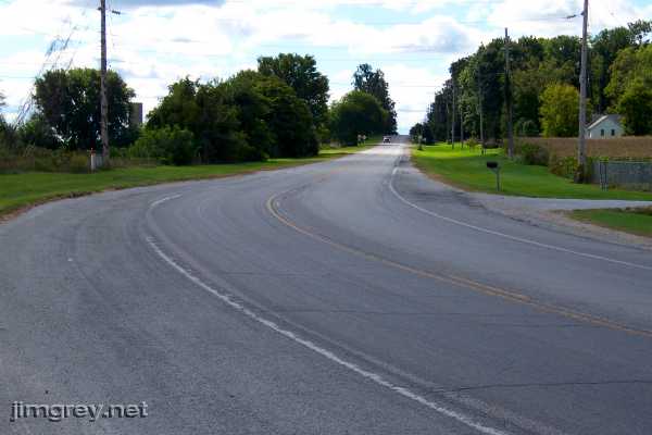
I turned around from that spot to photograph the old highway southbound. This is the character of the road I remember Richard Kimble walking on in that one episode of The Fugitive that I saw.
Argos came quickly. US 31 didn't bypass it by very much. The map shows old US 31 running through it at an angle, and US 31 running north-south just west of town.
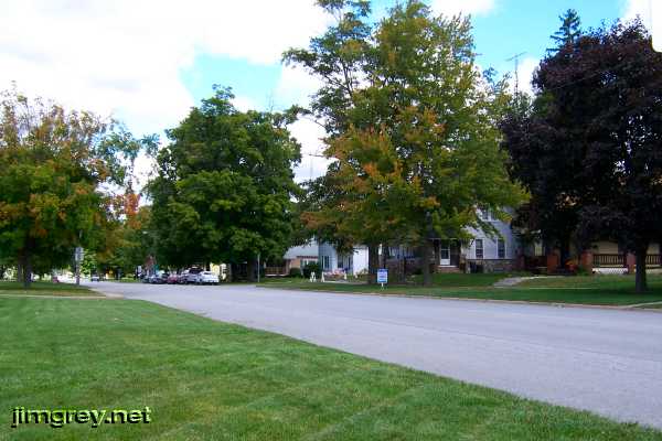
Argos began with a tidy neighborhood. Lawns were mowed and edged and homes were in decent repair.
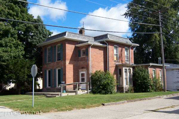
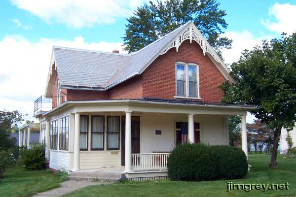
Brian and I noticed two 1800s homes in Argos, across the street from each other at the corner of Michigan and Smith Streets. Here's the first, built in 1892.
Here's the second, built in 1890. Both houses are on the national historic register.
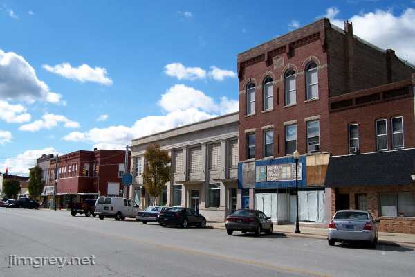
It was apparent as soon as we hit downtown, however, that Argos had seen better days. The tall building has a Mason shield and the year 1905 on it above the top row of windows.
I once worked with a woman from Argos. She said that when she was a young adult there, most people in town worked "over to Ristan's," a wonderfully northern-Indiana way of saying that they all worked at the Ristan factory, which was just across US 31. Then it closed, she said, and Argos's fortunes haven't been as good since. |
|
|
Created 13 January 2008. |
|