The Dixie Highway in western Indiana |
||||
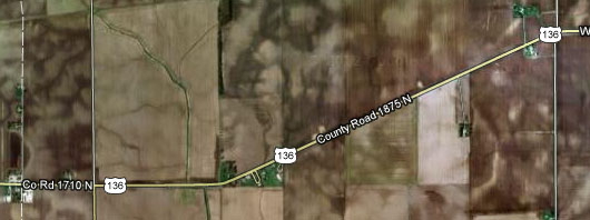
Vermillion CountyVermillion County is narrow but tall, and the Dixie Highway crosses it at its extreme northern end.
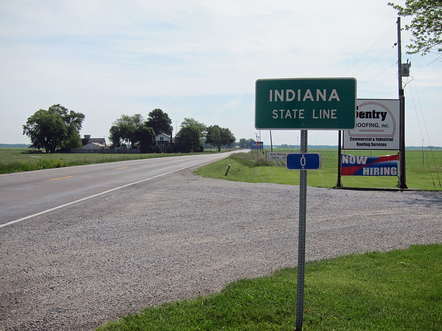
Imagery ©2012 DigitalGlobe, GeoEye, IndianaMap Framework Data, USDA Farm Service Agency, Map data ©2012 Google That's all of it – just 2.3 miles. The only photo I got in Vermillion County is the same one I used on the main page.
|
||||
|
||||
|
Created 1 January 2013. |
||||