The Dixie Highway in western Indiana |
||||
Boone CountyThe Dixie Highway spends very little time in Boone County, but what it lacks in length it makes up for in the greatest old alignment west of Indianapolis. It's paved in brick! Have I ever mentioned how happy it makes me when I find an old bridge or old pavement that used to serve on an important highway? Oh my, but it does.
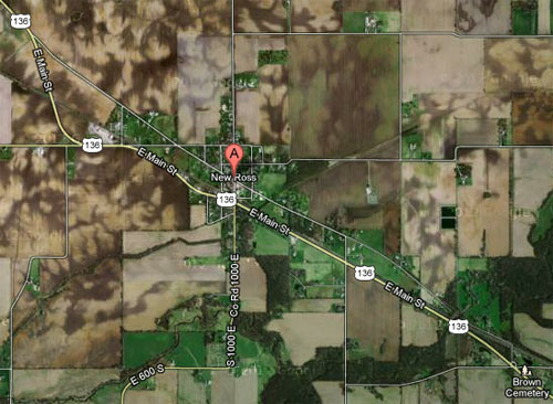
Looking at the map, it’s easy to tell this road’s story. The Dixie Highway originally cheerfully passed through New Ross about 12 miles southeast of Crawfordsville, but just east of town the road crossed a railroad track awkwardly. Indiana’s highway engineers devised a new route that crossed the tracks more safely, bypassing New Ross in the process.
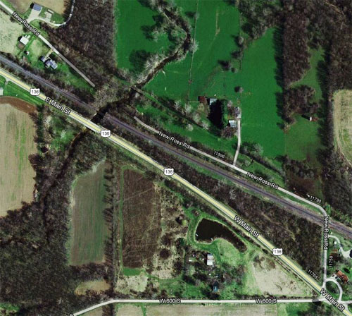
Imagery © 2012 DigitalGlobe, GeoEye, Indiana Map Framework Data, USDA Farm Service Agency. Map data © 2012 Google. At some point, the bridge that carried the Dixie’s older alignment was demolished. The brick road begins east of where the bridge was, just inside Boone County. This entire alignment was once paved in brick, but this remnant is all that’s left. It provides access to one property. The resulting ultra low traffic is certainly why this segment has never been covered in asphalt.
Imagery © 2012 DigitalGlobe, GeoEye, Indiana Map Framework Data, USDA Farm Service Agency. Map data © 2012 Google. Here’s a westbound shot of the brick road as it heads toward the creek.
When you zoom the map in a little closer, another bridge becomes visible – the one I was hoping to see. If you go back to the previous map, you can see how the road used to be aligned to cross this bridge. My guess is that when the Dixie Highway was paved in bricks, probably during the 1920s, this old bridge was for whatever reason judged insufficient. A newer bridge (now demolished) was built and the road realigned to use it. I wouldn’t be surprised if the old bridge is still used by the landowner.
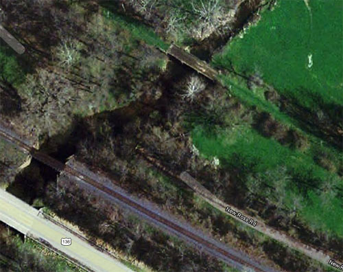
Imagery © 2012 GeoEye, Indiana Map Framework Data. Map data © 2012 Google. Sadly, I found no way to get to that bridge without trespassing. I sure would have loved to see it. But at least I got to see the old brick road. Here it is just north of where it crosses the railroad tracks.
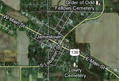
Just less than four miles from here, just before the road leaves Boone County, it enters little Jamestown.
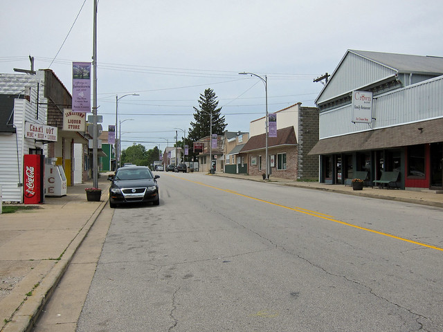
Imagery ©2012 DigitalGlobe, GeoEye, IndianaMap Framework Data, USDA Farm Service Agency, Map data ©2012 Google Some effort has been made to keep Jamestown looking nice, though it seems to have come in the form of covering up what might be crumbling building facades rather than to repair and restore them.
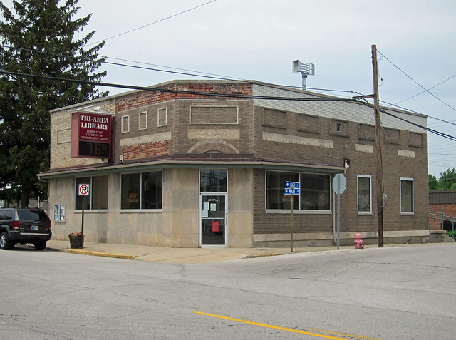
This former bank made me sad. It's such a hodgepodge of repairs and remodelings that its original identity is almost lost.
|
||||
|
||||
|
Created 1 January 2013. |
||||