The National Road in Ohio |
||||
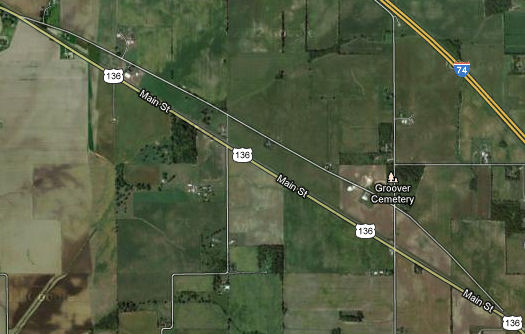
Hendricks CountyImmediately after entering Hendricks County, the Dixie Highway diverges from US 136 down a long old alignment. It's hard to see on this map, but a railroad track parallels current US 136, meaning that the old alignment crossed it twice, each time at an awkward angle. It's not hard to figure out that the road was realigned for safety's sake.
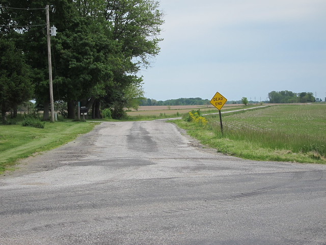
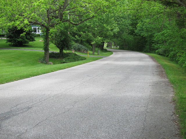
Imagery ©2012 DigitalGlobe, GeoEye, IndianaMap Framework Data, USDA Farm Service Agency, Map data ©2012 Google That realignment must have happened a very long time ago, because the old alignment is very narrow and rough. A few years ago, the eastern railroad crossing was closed, dead-ending the alignment. Here's a photo of the road heading toward that dead end.
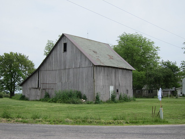
Being a city boy, I tend not to notice old barns. But they're such a part of the Hoosier experience that I'm trying to photograph them when I see them. One stood in this intersection, so I snapped its profile.
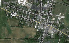
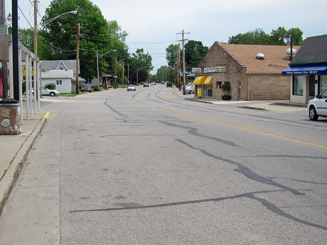
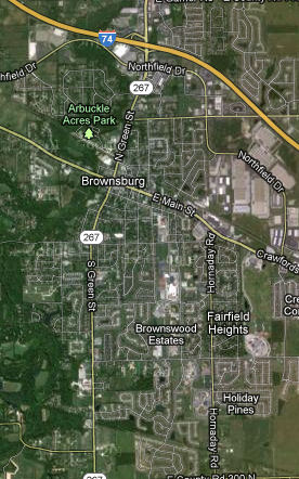
Lizton is the next tiny town along the way, but I didn't stop. I did stop briefly in Pittsboro, though. What this map doesn't show is all the cul-de-sac neighborhoods that surround Pittsboro, which is close enough to Indianapolis that in the past ten years or so it has succumbed and become a suburb.
Imagery ©2012 DigitalGlobe, GeoEye, IndianaMap Framework Data, USDA Farm Service Agency, Map data ©2012 Google That's not to say that Pittsboro's main drag looks much different than it ever did.
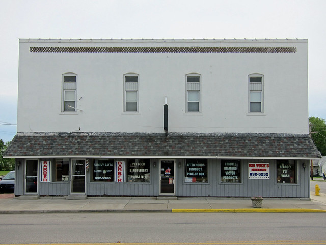
Many of Pittsboro's buildings show signs of care. This one looks good and square, although I do wish that the second-story windows were still the originals.
This building has succumbed to replacement-window syndrome, too, though the plate windows under the awning look original.
A brief old alignment lurks just east of Pittsboro. It is in two sections thanks to the removal of a bridge.
Imagery ©2012 DigitalGlobe, GeoEye, IndianaMap Framework Data, USDA Farm Service Agency, Map data ©2012 Google The scene along this stretch of old highway is almost idyllic.
Shortly the Dixie Highway reaches Brownsburg, a very popular Indianapolis suburb and the beginning of the Indianapolis metropolitan area. From here, US 136 is pretty constantly busy.
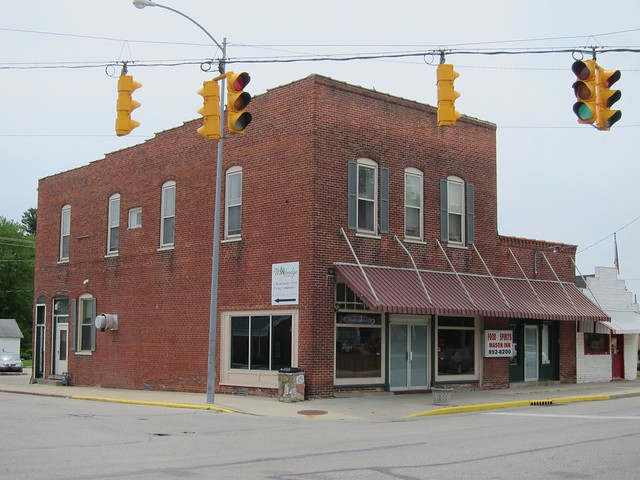
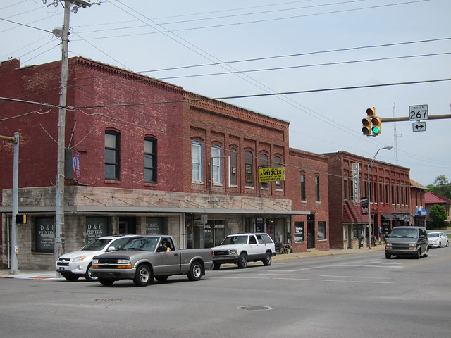
Imagery ©2012 DigitalGlobe, GeoEye, IndianaMap Framework Data, USDA Farm Service Agency, Map data ©2012 Google I did manage to stop for one shot in downtown Brownsburg, where State Road 267 intersects. I’m sure I’ll rankle the preservationists in my audience when I say that buildings like these were sort of the strip malls of their day – utilitarian facilities for a town’s commerce. To mollify the preservationists, I’ll say that these buildings were designed to last where strip malls aren’t, and are ripe for adaptive reuse in ways strip malls never will be.
If you page back through these pages and look at the photos I took in Hillsboro, Waynetown, and Pittsboro, you might be hard pressed to know one from the other as their buildings are more similar than they are different. But this photo of Brownsburg is a bit of a ringer. The other three corners probably once had buildings just like these, but they’ve been torn down in favor of a bank, a Walgreens, and a CVS. Ah, progress. I think I’d rather have the old buildings, as plain as they probably were. I ended my Dixie Highway trip here. The closer one gets to Indianapolis on any old road, the harder it is to stop for photographs thanks to heavy traffic. One day I need to just do an Indianapolis-area tour of old roads on my bicycle, which is much more maneuverable. |
||||
|
||||
|
Created 1 January 2013. |
||||