US 50 in Indiana |
||||
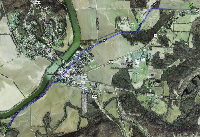
Martin CountyI visited Shoals twice as I explored US 50 this summer – at the end of the second leg and at the beginning of the third leg. My old maps and road guides plot a very different path for US 50 than it follows today – the blue route on this map. Old US 50 actually continued south on what is now Spout Springs Road until it reached what is now State Road 550. It then followed SR 550 for several miles before returning to US 50's current path.
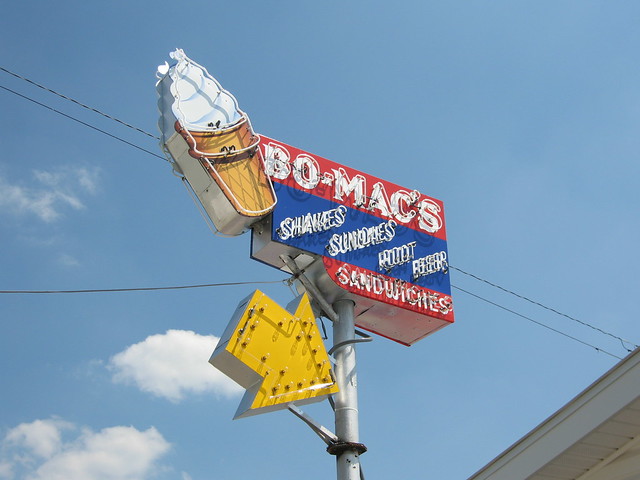
Entering Shoals, we first spied Bo-Mac's ice cream stand.
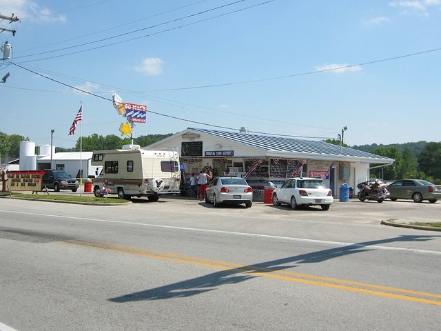
It sure was a busy day at Bo-Mac's!
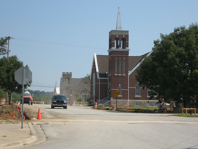
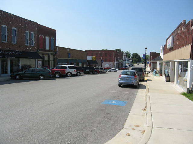
When we reached downtown Shoals, we found we had stumbled upon the town's annual Catfish Festival. Main St. was full of vendors and people having fun.
I knew the White River passed though Shoals and I hoped to find a grand old
bridge there. Artists and poets have long employed bridges in their work for
their grace and beauty. Monet famously
painted bridges, including
one in his Japanese garden. Van Gogh
painted the
same bridge
over and
over again. Harold
Hart Crane wrote probably the most famous bridge poem,
about Brooklyn Bridge. Wordsworth’s heart was so stirred by the view from a
bridge that he composed a
poem while standing on it.
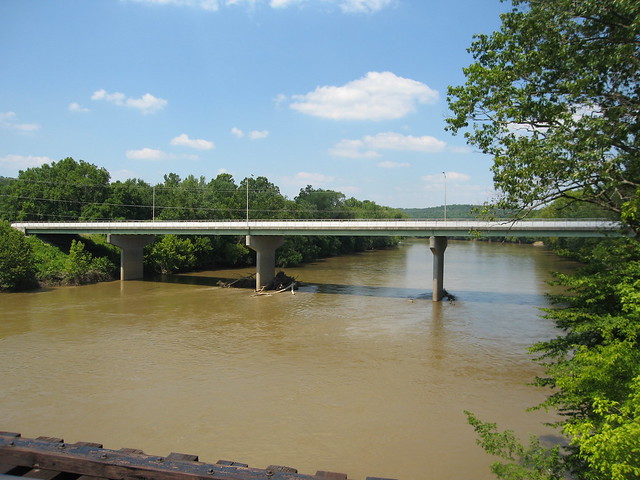
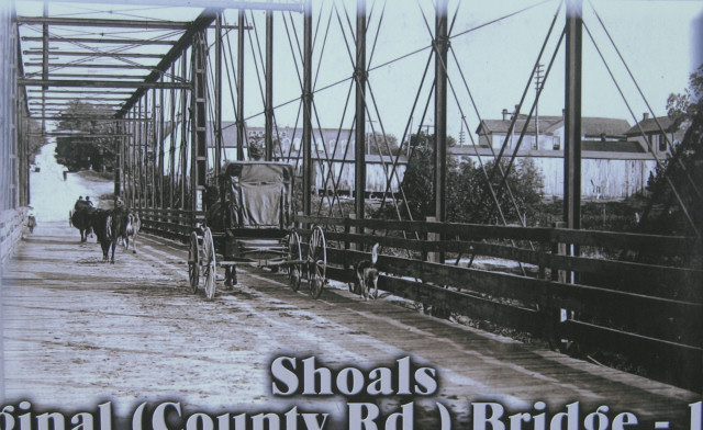
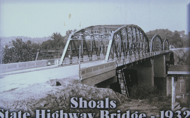
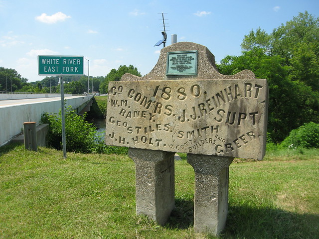
Three bridges have spanned the White River on US 50 in Shoals, Indiana. This is the third one. The first, a Whipple through truss, was built in 1880.
The second, built in 1932, was a three-span Parker through truss. The 1882 bridge still stood when this photo was taken; you can see it to the left of the 1932 bridge.
When it was time for that bridge to go, the era of Interstate-style ugly concrete eyesore bridges (UCEBs) was in full swing, and so this is what Shoals got. This is pretty much the only kind of bridge built anymore. Fortunately, someone saved this concrete plaque from the 1880 span. It was placed here, marking that bridge’s location, when the 1932 bridge was built. It has style, unlike the modern bridge.
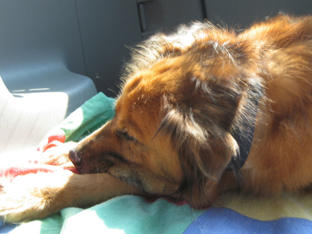
One day this UCEB will need to be replaced. Nobody will lament it; there will be no commemorative plaque, no paintings or poems. When I returned to Shoals several weeks later for the final leg of my US 50 journey, my travel companion was my buddy Gracie.
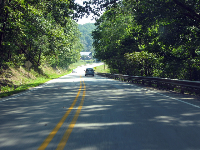
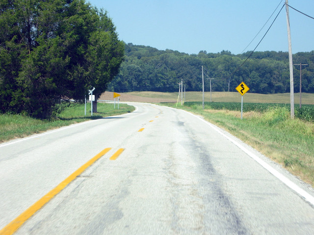
I purposed to follow the old and new alignments of US 50 between Shoals and Loogootee (pronounced lo GOAD ee). I actually started in Loogootee and headed east on current US 50 to Shoals, and then followed old US 50 back to Loogootee. This wasn't my first time on this patch of road. I had a great time zooming through this twisty stretch during a 2006 road trip and wanted to drive it again. Here’s a photo I took from there in 2006.
I photographed the road from about the same place this time, too. I’m surprised to find the road looks less twisty in my new photo. I took the earlier photo with a Olympus Stylus Epic Zoom 80, a film camera I owned then. It had a 38mm lens. Could my Canon PowerShot S80′s 28mm lens have straightened these curves a little? Or is it that I got this shot from just a little farther east than last time, which ate up a bit of the curve?
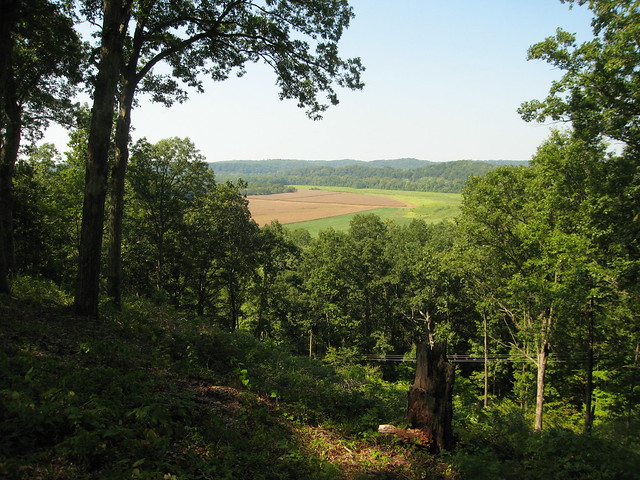
For Hoosiers who grew up where the glaciers flattened everything, pretty much the northern half to two-thirds of the state, straight roads cut through level farmland. But roadbuilders of old had to go over or around southern Indana’s hills. It had to be much harder work than their northern Indiana counterparts experienced, but it sure led to fun drives like this stretch of US 50. It also led to some great views, such as this one at a little pulloff called Overlook Park.
I had more trouble finding Jug Rock, a natural rock formation in Shoals not far from the bridge over the east fork of the White River. It’s all sandstone and is the largest “table rock” formation east of the Mississippi. It stands feet from the road, but downhill a bit and in a thick woods so it’s hard to see. It’s also not well marked. I missed the itty bitty sign and tiny pulloff three times and almost gave up looking for it!
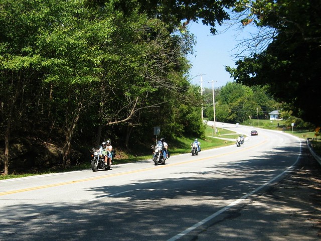
US 50 was busy this Saturday. As I waited for traffic to pass so I could get back into my car, I snapped this shot that shows the road’s character here.
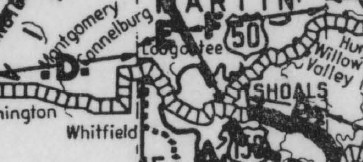
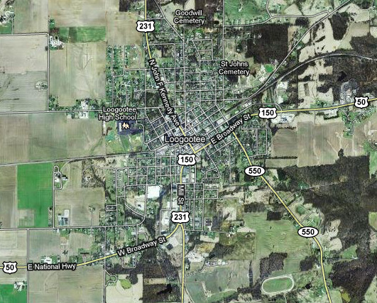
Then I returned to Shoals to follow US 50's old alignment, which didn't cross the White River but instead headed south out of town. US 50 changed quite a bit from Shoals west to about Montgomery from 1927, when it was first signed in Indiana, to about 1932. Here's an excerpt from a 1927 Indiana State Highway Commission map, which shows US 50's north-south orientation through Shoals and its path along what is now SR 550 to Loogootee, plus a more southerly alignment leading away from Loogootee.
This excerpt from the 1932 Indiana State Highway Commission map shows US 50 on its modern east-west alignment through Shoals and into Loogootee, and a straighter path out of Loogootee that goes through Montgomery rather than bypassing it.
From the intersection of US 50 and Old US 50 (Main St.) in Shoals, here's the old Main St. alignment northbound.
From the same spot, here's the old alignment southbound. Main St. Ts into Spout Springs Road on the south side of town, and Old US 50 follows that road.
Shortly the road crosses Beaver Creek via this 1962 bridge.
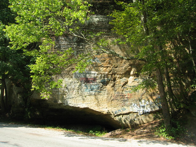
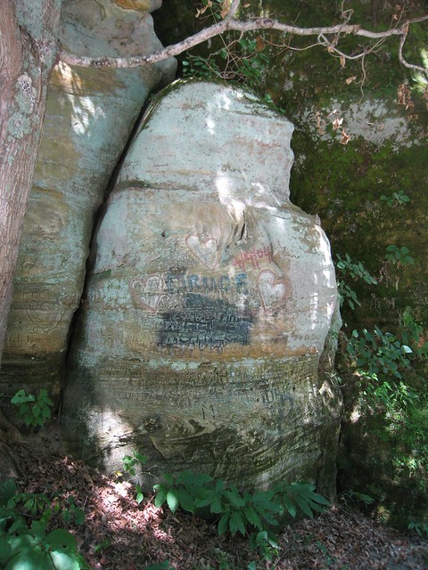
This large rock formation is just south of the bridge.
It is covered in faded graffiti.
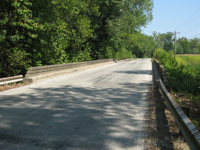
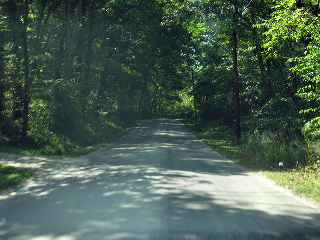
This is a typical scene along Spout Springs Road.
Soon the road Ts into State Road 550; US 50 once made the right turn here to head west toward Loogootee.
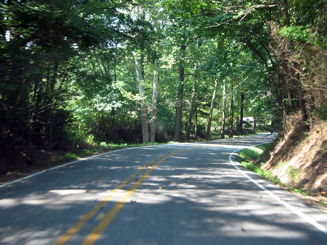
It's a little twisty but otherwise is a typical rural Indiana highway.
Soon SR 550 reaches Loogootee. As you can see, current US 50 comes in directly from the east.
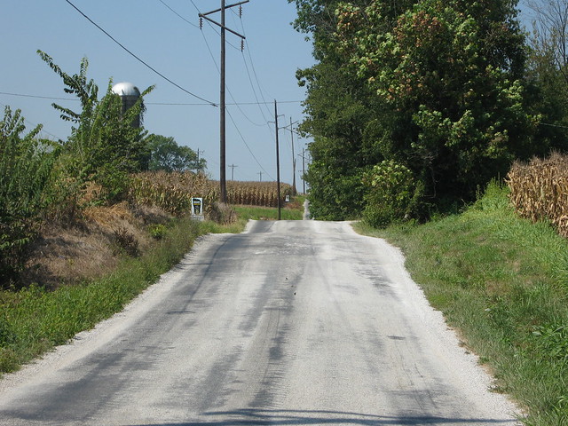
Originally, US 50 followed what is now US 231 about another mile south, to what is now County Road 100 S. This is that road. I have to think that since this road ceased to be US 50 in the early 1930s, that this is pretty much the width of that highway in those days. It boggles my mind.
|
||||
|
||||
|
Created 2 January 2011 |
||||