US 40 and the National Road in Western Indiana |
||||
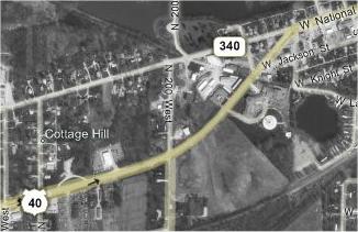
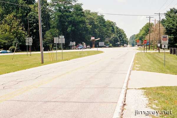
Indiana 340The most obvious and accessible segment of old US 40 and the National Road on our tour runs between the west side of Brazil in Clay County and the Vigo County line. Indiana still maintains this segment as Indiana 340. I'm happy to see this old road maintained so well, but I can't figure out what purpose Indiana 340 serves since US 40 is so close by! Not surprisingly, Indiana 340 is the straight shot off the US 40 roadbed; to stay on 40, you have to bear left.
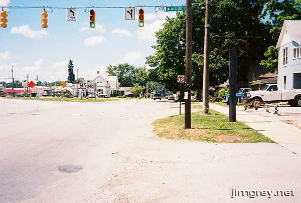
Here's a view of the eastern terminus from the curb just before it. Had there been less traffic, I would have stepped into the road to get this shot from a better angle. Brazil was the first place we encountered significant traffic on US 40 that day.
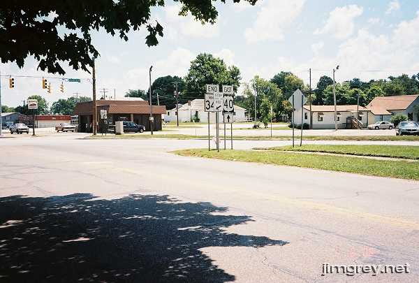
Here's the eastern terminus from the west.
The road is really pleasant to drive -- it's fairly straight, but it rolls a bit, so cruising at speed feels good. The surroundings become more rural the farther away you get from Brazil until finally the road meets US 40 again.
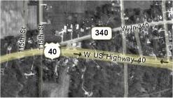
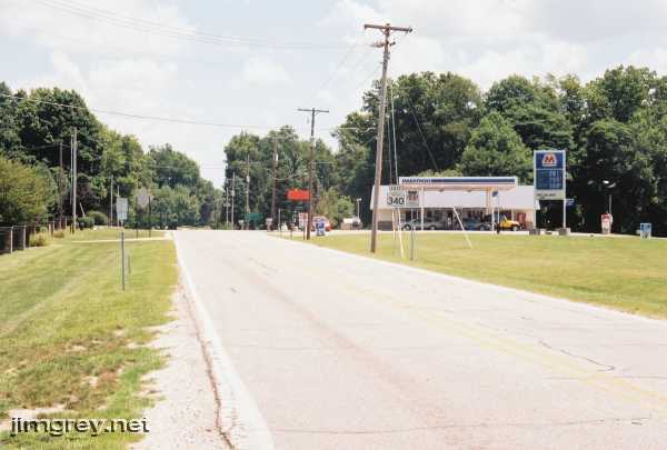
As the photo shows, the western terminus of Indiana 340 is on the same line as the westbound lanes of US 40. Indiana 340 is also signed as the Historic National Road.
Looking back eastward on Indiana 340, the Marathon station looks like an oasis in the middle of nowhere. Indeed, we both got something to drink here.
|
||||
|
||||
|
Created July 2006. Last update 26 May 2007. |
||||