US 40 and the National Road in Western Indiana |
||||
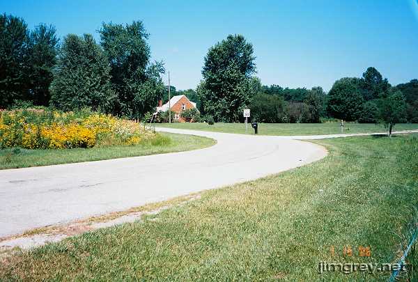
Pleasant Gardens segmentJust past Manhattan in Putnam County was a turnoff for 620 W, which curves into a segment of an old alignment. US 40 is visible from some of this segment; it's about 100 yards away.
This segment was pretty well maintained and fairly unremarkable. It began on a pastoral scene...
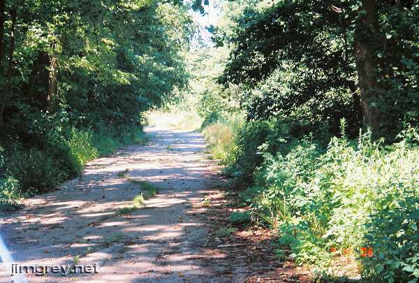
...and ended about 1200 yards later as the road crumbled away at a dead end with the current 40 road bed. To exit, we had to backtrack to the crossroad, which was 625 W.
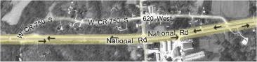
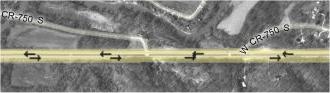
Wait, did I say this segment was unremarkable? I might be wrong. The next segment begins maybe 300 yards from where this one ends, as this map shows. Notice how 750 S ends at US 40, and then 300 yards to the west 750 S picks up again. In that western segment of 750 S, if you follow the line of that road (ignoring the little turnoff leg), it might flow smoothly into the eastern segment of 750 S.
|
||||
|
||||
|
Created July 2006. Last update 29 February 2008. |
||||