State Road 37 from Indianapolis to Bloomington |
||||
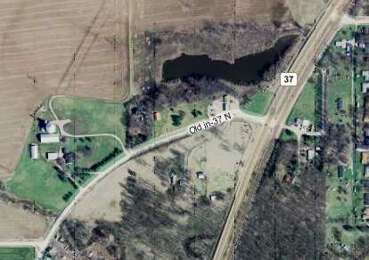
In Morgan CountyThe next segment of the original SR 37 alignment, which was in Morgan County, came about two miles later, southwest of a dot on the map called Adams, just south of Egbert Road. Here's the map of its northern end:
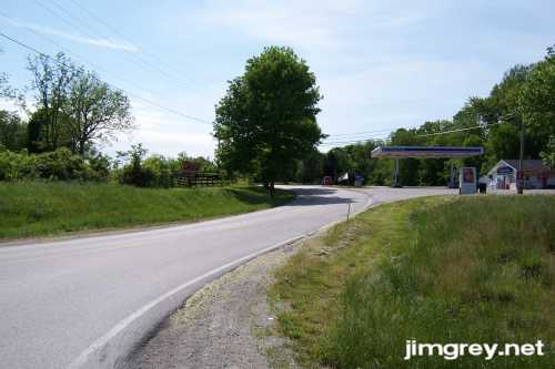
Notice that there's no sign of where Old SR 37 went to the north of where the access road meets it. I found no sign when I stood in that curve, either. This photo shows the access road. The curve to Old SR 37 begins at the Marathon station.
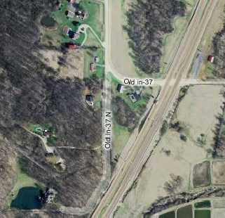
There wasn't much to this segment, which lasted 1.2 miles. It ended in a curve that met current SR 37. The original road continued beyond the curve.
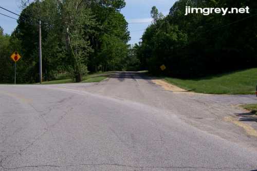
Here's what it looked like at the curve.
This time, the old road was clearly and cleverly marked as private property. I stayed out.
|
||||
|
||||
|
Created 24 May 2007. |
||||